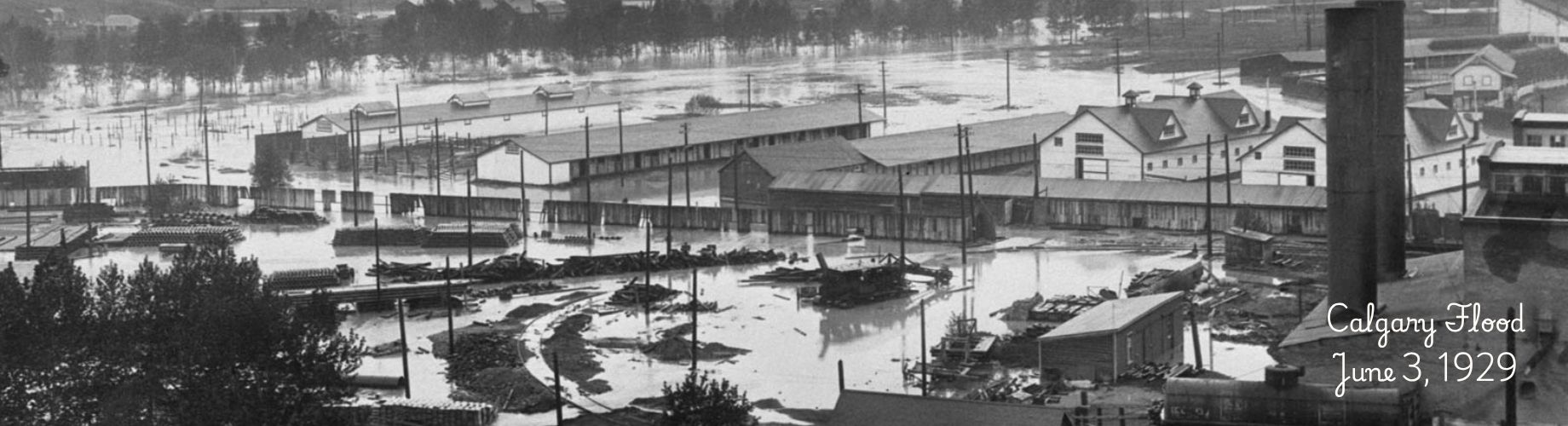
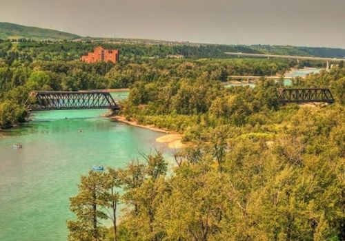
River flooding in Calgary is most likely to happen in spring, driven by big rains. Snowmelt can add to the river flow, but doesn’t cause flooding on its own.
In spring, The City is always monitoring conditions. But because the mountains can change our weather quickly, we may have less than 24 hours to confirm how much rain we’ve gotten, and how much the Bow River will rise. That’s why it’s so important we’re all prepared to act.
From mid-May through mid-July, visit calgary.ca/floodinfo for a snapshot of river conditions.
Ready for 2026
This spring, there is a lot of snow in the mountains. While Calgary’s risk of flooding is driven by rain, we do keep a close eye on the melting snowpack as well. The good news is that lots of snow could ensure healthy river flow well into summer, relieving some pressure on our water supply.
Each spring, we prepare for flooding by exercising our response plans. We also work closely with the Government of Alberta, Environment and Climate Change Canada, Alberta River Forecast Centre, TransAlta and the Irrigation Districts to share information and respond cooperatively. In this way, reservoirs in the Bow watershed are managed to reduce flood risk and protect water supply availability.
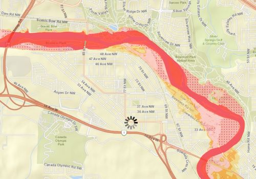
Understand. Use our online interactive flood map to see if you live or work in an area at risk.
Be prepared.
Review your insurance. Learn about the different coverages available for overland flooding and your eligibility.
Check your sump pump and backflow preventer valve if you have one.
Move your valuables and documents out of your basement.
Be ready to evacuate quickly if needed – have an emergency plan and 72-hour kit.
Know how to quickly turn off your water, gas and electricity mains.
Park your vehicles on higher ground if a flood is forecast.
Stay informed. Follow local media and sign up for emergency alerts.
River conditions are posted regularly at calgary.ca/floodinfo. If flooding is forecasted, The City will communicate primarily through the media as soon as we have information to share.
For more information and to sign up for the Calgary Rivers newsletter, visit calgary.ca/floodinfo.
Proposed development regulations for flood risk areas
Amendments to The City’s Land Use Bylaw for development in flood hazard areas are anticipated to be taken to City Council in late 2026.
Through updates to our flood hazard regulations, The City is seeking to:
Align land use planning with investments in flood mitigation.
Bring our latest understanding of flood hazard, including groundwater risk and design elevations, into regulations.
Protect public safety by ensuring that development occurs in a manner appropriate to the risk level in respective flood hazard areas, including considerations for basement living spaces.
Reduce risk to property damage through building and development regulations.
For the latest updates, including further engagement opportunities later this year, visit calgary.ca/rivervalleys.